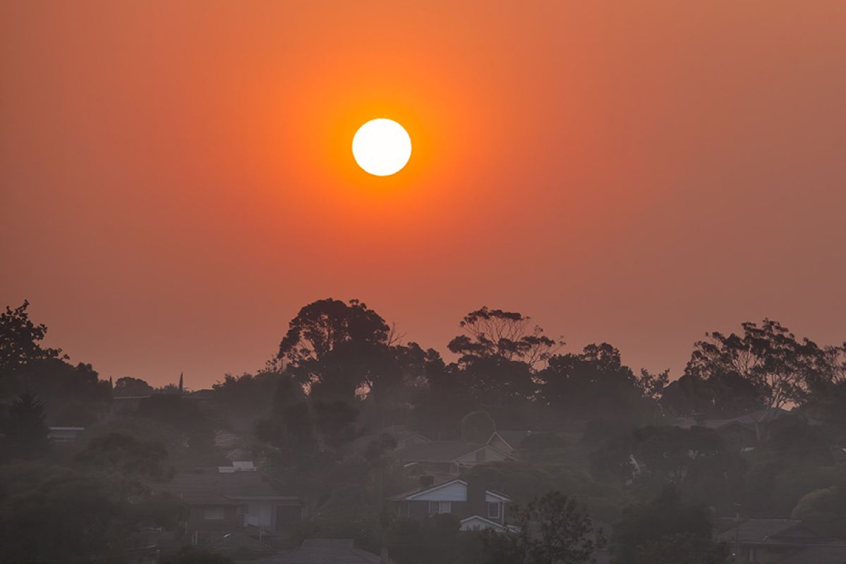
Our summers are getting hotter and extreme weather events are increasing, so it’s more important than ever to know how to keep cool during a heatwave. Here’s a guide on how to prepare for a heatwave and how to stay cool when the temperature rises.
La Niña explained: how will it impact our summer weather?

La Niña has dashed our hopes of a long hot summer. Here’s what’s on the horizon, thanks to this weather phenomenon.
Victorians can expect more rain, possible floods and cooler daytime temperatures this summer, with the Bureau of Meteorology (BoM) declaring the development of a La Niña in the Pacific Ocean.
This type of weather is expected to persist until at least the end of January 2022.
But what is La Niña and what can we expect over the coming months? We take a look at the weather phenomenon and what potential dangers lie ahead for the east coast of Australia.
What is La Niña?
La Niña is part of a cycle known as the El Niño-Southern Oscillation (ENSO), a naturally occurring shift in ocean temperatures and weather patterns along the equator in the Pacific Ocean.
The converse of the cycle is El Niño - a period of drought that Australians have come to know well, with neutral conditions in between. The ENSO cycle usually occurs for periods of one to eight years.
La Niña is governed by interactions between the atmosphere and ocean circulation. First, the equatorial trade winds become stronger, which changes the ocean surface currents and draws cooler deep water up from below. This results in a cooling of the central and eastern tropical Pacific Ocean.
However, ocean temperatures in the Western Pacific become warmer, contributing to rising air, cloud development, and rainfall. As a result, heavy rainfall can occur across the north and east of Australia during La Niña.
Where did the name come from?
In Spanish, La Niña translates to “the little girl” and El Niño means “the little boy”. These two weather patterns have opposite effects. La Niña causes the water in the Pacific Ocean to be colder than usual, while El Niño makes it warmer.
Apparently, South American fishermen first noticed periods of unusually warm water in the Pacific Ocean as far back as the 1600s, and the original name for the weather pattern was El Niño de Navidad because El Niño typically peaked around December.
The last significant La Niña impacting Australia was during 2010–12. It included Australia’s wettest two-year periods on record, and widespread flooding.
La Niña also occurred during the spring and summer of 2020-21. According to the BoM, it’s not unusual for La Niña to return for a second consecutive year.

La Niña causes a drop in sea surface temperature and is associated with an increase in rainfall
What to expect this summer
While our lifestyles have been somewhat ‘unprecedented’ over the past 12 months, the trend appears it will continue into the summer with some particularly peculiar summer weather.
With La Niña, Australians on the east coast can expect:
- Increased rainfall
- Cooler daytime temperatures (south of the tropics)
- Warmer overnight temperatures (in the north)
- A shift in temperature extremes
- Decreased frost risk
- Greater tropical cyclone numbers
Victorians can expect cooler than average daytime temperatures. Average water temperatures will be cooler, too, so make sure you pack your wetsuit when you go to the beach.
Persistent south-east to north-westerly winds are more likely to affect northern parts of Australia, with a heightened risk of cyclones. La Niña is also associated with earlier first rains of the northern wet season, which you might need to consider if you have holidays planned in Northern Territory and Queensland.
Despite this shift in weather, there's no need to panic. This year's event is not predicted to be as strong as the 2010-12 event and may even be weaker than the 2020-21 La Niña event.
The BoM says every La Niña has different impacts and other climate drivers influence the weather as well, so ensuring your home insurance policy is up to date can help mitigate any damage caused to your home or contents by unpredictable weather.
This La Niña is expected to last until late summer or early autumn.
Preparing for flooding
Records show that rainfall is 20 per cent higher than average for December-March during La Niña years. This means eastern Australia faces a much higher risk of severe flooding over summer.
Victorians should be wary and check if your property is at a high risk of flooding.
Depending on where you live, this could be with the local council, catchment management authority, water authority, or territory government. Flood-related planning and building controls only apply to the highest-risk areas, so ask about the risk from flood events that are potentially more widespread and severe than usual.
If you need to evacuate during a flood, take all safety precautions and listen to the advice of your local emergency services, particularly when driving. Never drive into floodwaters.
Floodwaters that reach the bottom of a car door can be strong enough to carry a vehicle away. Find out how to prepare for storms and floods and download our flood risk factsheet.
The information provided is general advice only. Before making any decisions please consider your own circumstances and the Product Disclosure Statement and Target Market Determinations. For copies, visit racv.com.au. As distributor, RACV Insurance Services Pty Ltd AFS Licence No. 230039 receives commission for each policy sold or renewed. Product(s) issued by Insurance Manufacturers of Australia ABN 93 004 208 084 AFS Licence No. 227678.


